How to get a GPX for a route you never recorded
· 3 min read
Not every trip has a recording. The watch died, you forgot to press start, the hike was before smartphones, or you want to give someone a relief of a route they did. None of that is a problem. You can usually find a ready-made GPX file, or draw one yourself in a few minutes.
A planned route is all a relief needs. We don't need times or heart rate, just a line that follows where you actually went.
Try the create page first
The create page has a map of popular routes, such as well-known ridge walks and long-distance trails. If yours is there, just click it and you don't need a GPX file at all.
If a friend who came along has the route on Strava, ask them for the activity link and paste it on the same page.
Find a ready-made route
Marked trails, races and popular hikes have usually been recorded by someone already and shared for free.
Waymarked Trails for marked trails
hiking.waymarkedtrails.org shows the marked hiking routes from OpenStreetMap all over Europe. Find the route by name or on the map, open its details and download it with the GPX button. For bike routes there is cycling.waymarkedtrails.org.
Komoot, AllTrails and Wikiloc
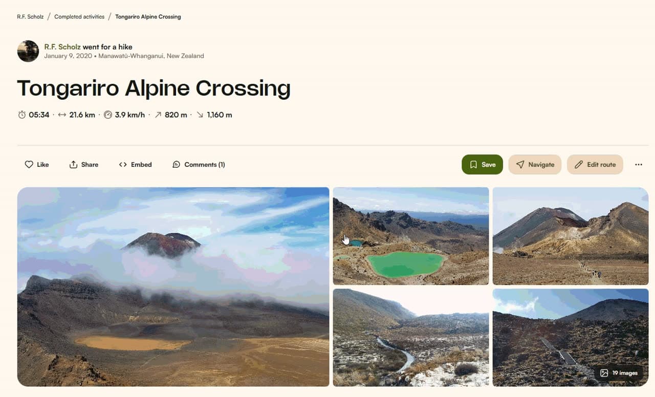
People share millions of tours in these apps. Search for the peak or route name, pick a tour that matches yours and download it. The steps are in our guides for Komoot and for AllTrails. On Wikiloc, log in and use the Download button on the trail page.
The race website
Ran a marathon or an ultra, or rode a sportive? Organisers almost always publish the course as a GPX download, usually under Course or Race info. For past editions, check the archive.
Draw the route yourself
If you can't find a ready-made route, draw it. Route planners snap the line to roads and paths, so you only need to mark the start, the finish and a few places you passed.
Mapy.com (formerly Mapy.cz)
- Open mapy.com and switch to route planning.
- Enter the start and finish and choose the route type, for example walking or cycling.
- Add waypoints until the route follows exactly where you went. You can also drag the line with the mouse.
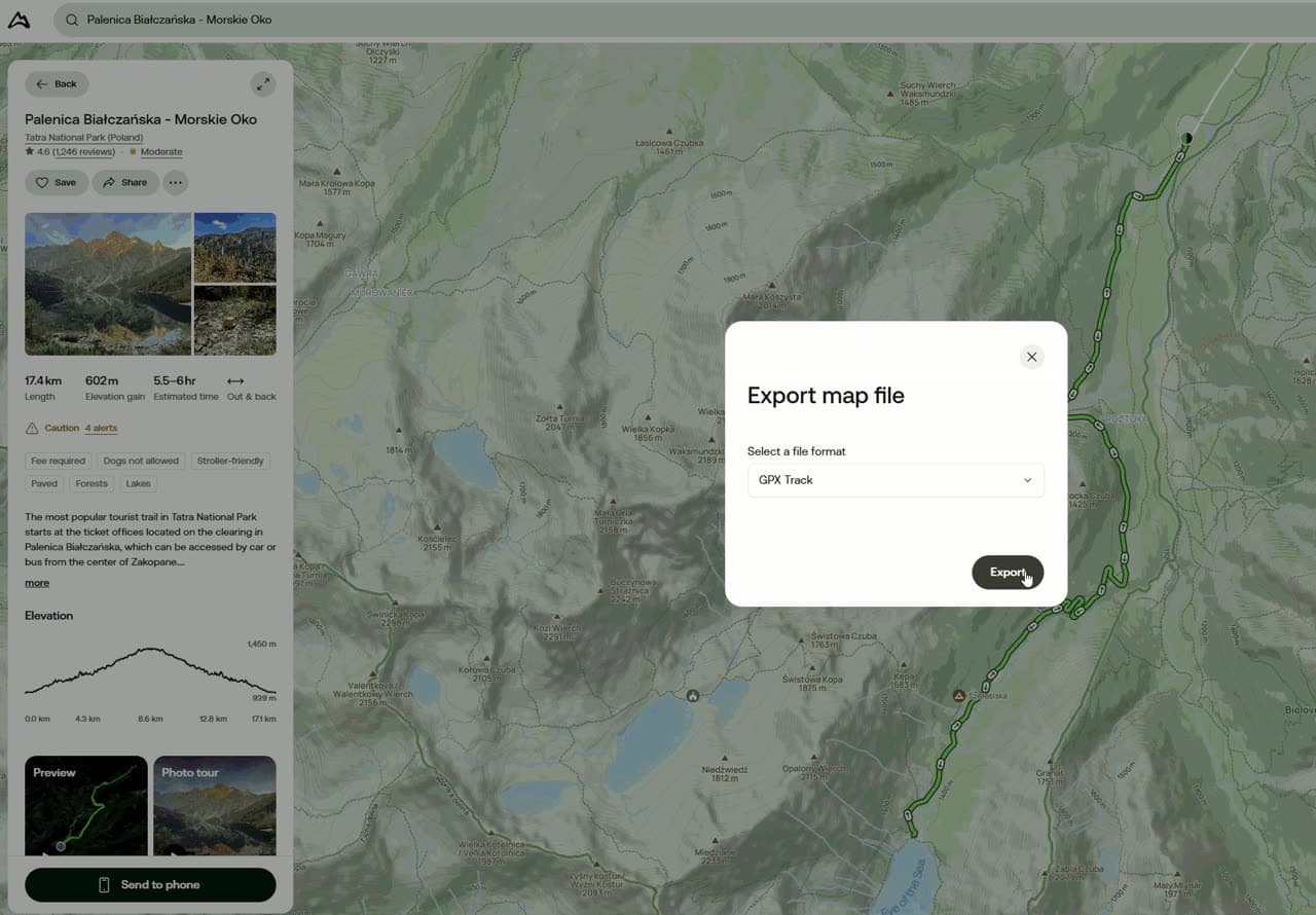
- In the route details choose Export and the GPX format. In the mobile app, export is in the route details above the elevation profile.
gpx.studio
gpx.studio is a free route editor that runs in the browser, no account needed. Choose an activity, click on the map and the route snaps to paths on its own. Download the result via File and Export. It is also handy for joining a multi-day trip into one file or trimming a section you don't want on the relief.
Komoot and Garmin Connect
Both Komoot and Garmin Connect (under Courses) let you plan a route for free and download it as a GPX, just like a recorded activity. The Strava route builder needs a subscription.
Tip: Once the route is drawn, zoom in and follow it along the map. A planner sometimes picks a different path from the one you took, and it would show on the relief.
Things to check
- Size: the route has to fit in a square of roughly 80 × 80 km. For longer traverses, pick the best section.
- One file: join a multi-day trip into a single route, for example in gpx.studio.
- Loop or traverse: for a loop, make sure the route ends back at the start.