What is a GPX file and where to get one
· 2 min read
A GPX file is a plain text file that stores a route. When you start recording on your watch or phone, the app notes where you are every few seconds. Those points become the line you see on the map, and that line is what the app can export as a file ending in .gpx.
If you use Strava, Garmin, Komoot, AllTrails or a similar app, you most likely already have GPX files. You just haven't seen them, because they sit inside the app.
What is inside a GPX file
- Coordinates of every point along the route: latitude and longitude.
- Elevation at each point, so you can tell where you climbed and where you descended.
- Time, if it is a route you actually did. A planned route has no times, which is fine.
- Sometimes the route name or extra data such as heart rate from your watch.
The format is open and international, so almost every map or sports app can read it. You can send it to a friend, load it into a different app, or turn it into a 3D relief of your route.
Recorded and planned routes
A GPX can hold two kinds of route, and both work for a relief:
- A recorded route is what you actually walked, ran or rode. It has every small bend, including the ones where you got lost.
- A planned route is the line you drew in a route planner in advance. It is smoother, and it is handy when you have no recording or want to give someone else's route as a gift.
How to get a GPX file
The steps depend on the app, but usually you look for a menu with three dots or a gear icon and choose Export GPX. We have written step by step guides with a short video:
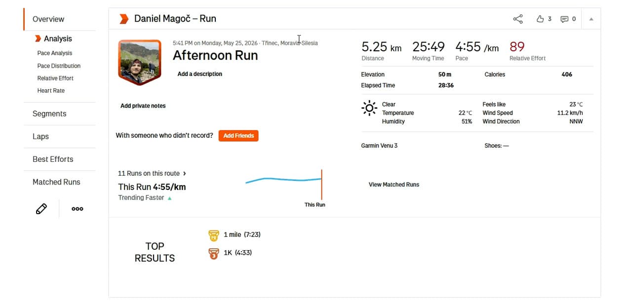
- How to export a GPX from Strava
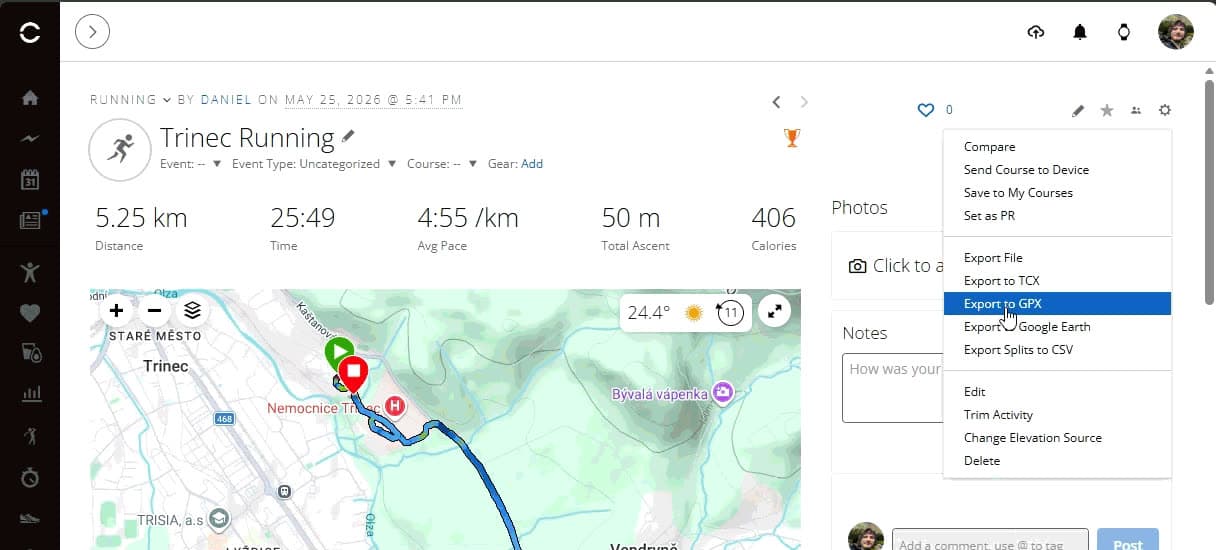
- How to export a GPX from Garmin Connect
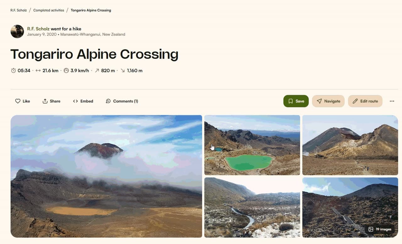
- How to export a GPX from Komoot
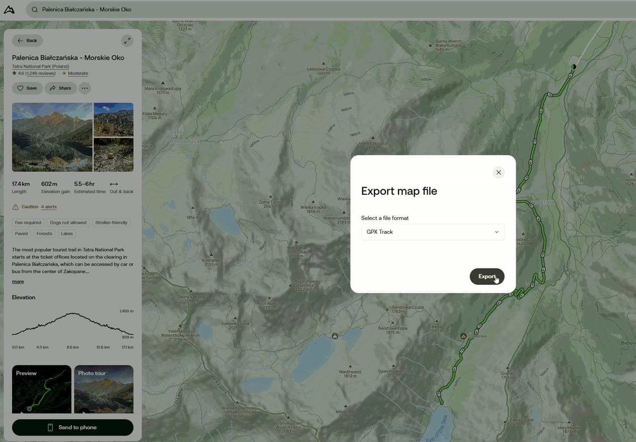
- How to export a GPX from AllTrails
Using a different app, such as Mapy.com, Suunto or Wahoo? Open the route or activity and look for Export, Download or Share. The GPX option is almost always there.
No file at all? On the create page you can paste a link to a Strava activity, or pick one of the popular routes right on the map. Then you don't need a GPX file.
What to do with your GPX file
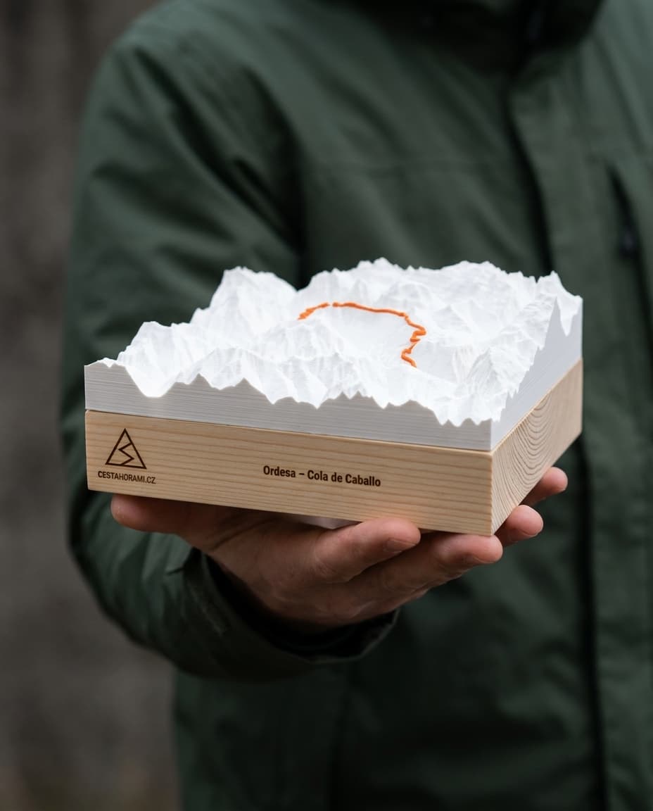
Besides sharing and keeping a backup, you can turn it into a keepsake. Upload the file on the create page and you will see a 3D model of the terrain around your route straight away. The route is raised in a bright colour, and the whole piece sits on a wooden base engraved with your own text.
The only limit is size: the route has to fit in a square of about 80 × 80 km. Over larger areas the mountains would flatten out on a small model and the relief would lose its charm.